Sophie Williams 2021 Field Report
2021 CLAG Field Study Award
Change Detection and Marine Management in South Water Caye Marine Reserve, Belize
Abstract
The South Water Caye Marine Reserve (SWCMR) off Belize’s southern coast contains the largest unbroken stretch of the Belize Barrier Reef as well as many small mangrove islands, patch reefs, and seagrass beds whose diverse ecosystems sustain myriad threatened, recreational, and subsistence fisheries. This mixed-methods study combines a remote sensing land change analysis with a content analysis of the reserve’s management plans to characterize changes and management strategies that shape the area in and around the SWCMR. The first component of the study is a hybrid classification of remotely sensed data and change analysis performed in ERDAS Imagine and ArcGIS. Images obtained from Planet’s CubeSat satellites between 2010 and 2020 divide the area into its constituent habitats, and a change analysis of the result shows how the ecosystem composition has varied inside and outside the reserve over ten years. The second project component, a content analysis of the SWCMR’s management plans, identifies observed drivers of change in the reserve and provides causal context for results of the change analysis. Results establish a baseline for change dynamics and development in Belize’s little-studied southern waters and evaluate current management strategies and development in the SWCMR. Understanding the changes occurring in this protected area will provide valuable information for future management and conservation decisions that affect Belize’s valuable marine biodiversity.
Keywords
Change Detection, Belize, Remote Sensing, Content Analysis, Ground Truthing
Background and Objectives
The Belize Barrier Reef is the largest barrier reef system in the Western Hemisphere, and its varied ecosystems and biodiversity has been recognized on a global scale since it was named a World Heritage Site by UNESCO in 1996. Seven marine reserve systems cover various parts of the barrier reef and serve as habitat for many threatened species and important fisheries. Manatees (Trichechus manatus), tarpon (Megalops atlanticus), queen conch (Strombus gigas), and magnificent frigatebirds (Fregata magnificens) are just a few of the species of interest that call the reef home (Meerman 2005; Palomares and Pauly 2011; Zeller and Gillet 2003).
The South Water Caye Marine Reserve (SWCMR) is located in southern Belize and covers 47,702 hectares of the barrier reef (Meerman and Clabaugh 2009). It is populated with diverse mangrove islands and seagrass beds whose sensitive marine and terrestrial ecosystems may serve as indicators of the health of the surrounding aquatic and terrestrial areas (Baldacchino 2007; Vergílio et al 2017). This interconnected mosaic of small landscapes is particularly vulnerable to ecological, environmental, and anthropogenic changes that accumulate over short and long periods of time. It is important to document and quantify change in these sensitive environments to understand its effects.
My research blends qualitative and quantitative approaches to quantify changes in water and land cover in the reserve over the past ten years. A land use land change assessment of remotely sensed imagery and a content analysis of the SWCMR’s management plans over the past ten years will measure environmental and anthropogenic changes and see how they may be manifesting themselves on the ground in management practice. This will allow me to resolve the questions: (1) how much has the water and land cover in the SWCMR changed in the last ten years?; (2) how much of this change may be due to anthropogenic influence?; (3) does development meet marine reserve guidelines, or does it reflect illegal development? The answers will provide insight into change dynamics and human-environment interactions in the area, help evaluate management strategies in marine reserves, and establish a baseline study for change dynamics in this area.
Fieldwork Experience
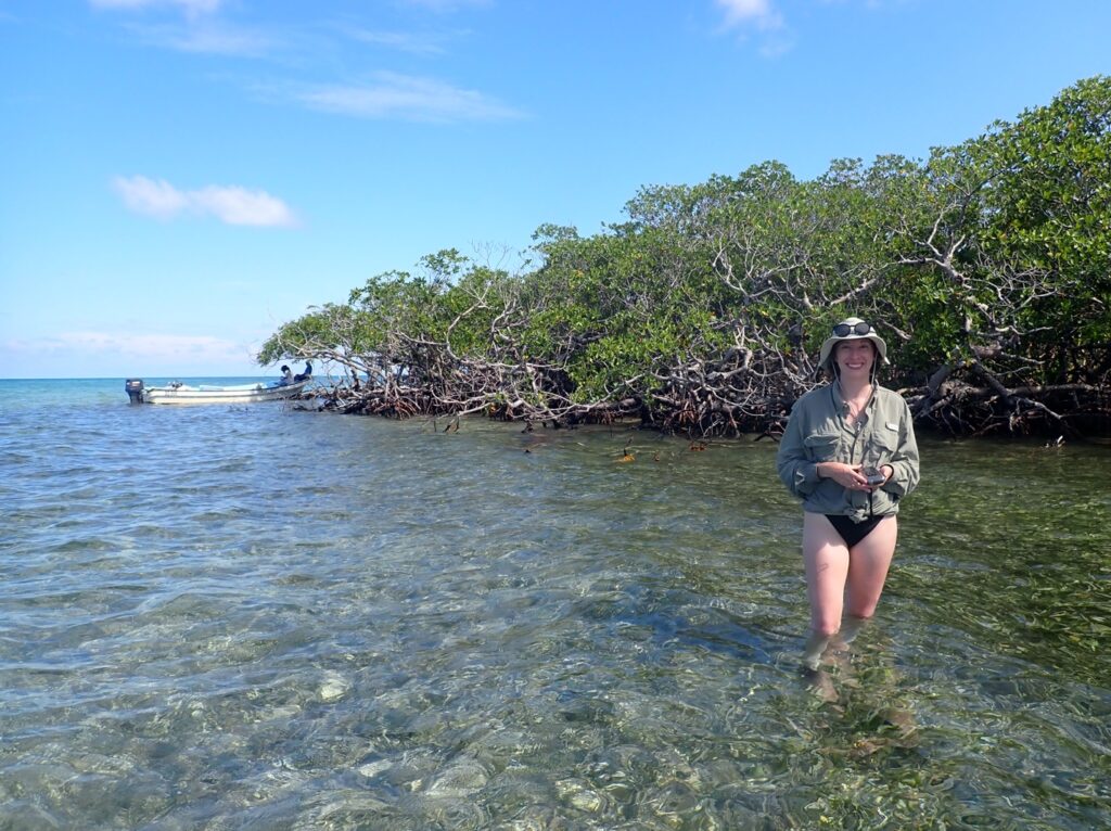
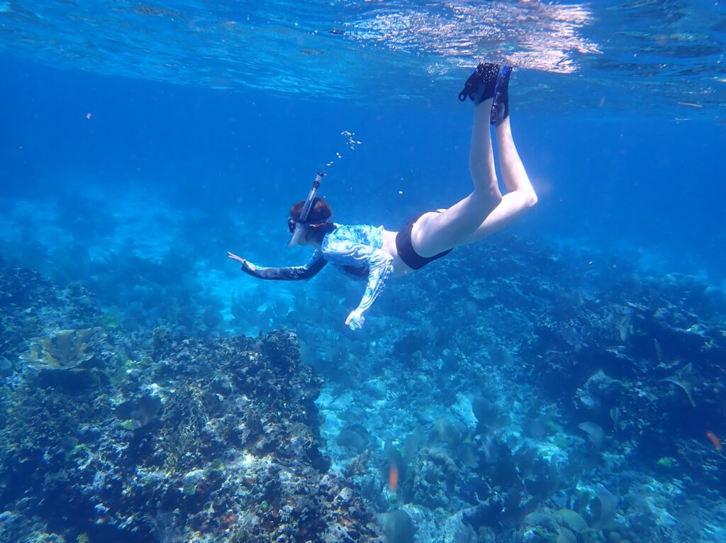
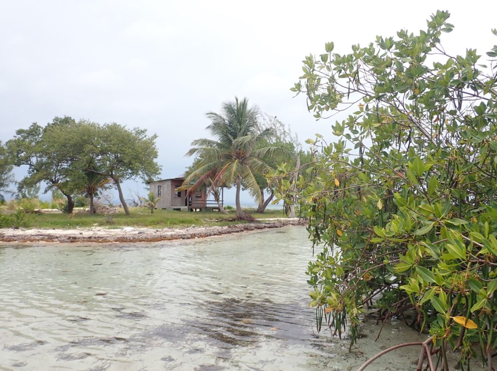
In August 2021 I traveled to the SWCMR in Belize to gather ground truth data that will support my remotely sensed water and land cover analysis. Data collection was carried out over four days in the field. With South Water Caye as my home base, I traveled out to a different location in the reserve each day, stopping at random points along the way to gather GPS points representing the different land and water cover types that I hope to measure: benthic seagrass, water, barren areas, vegetation, and developed areas. From the Blue Ground Range to Coco Plum Caye, I gathered point data from the boat, waded through shallow seagrass beds and sandbars, and climbed through red mangrove islands to reach a wide variety of points. I occasionally snorkeled some locations to verify the submerged cover—whether the bottom of the ocean held seagrass, sand, or coral.

The result is over 200 points of verified ground truth data that I will incorporate into several steps of my remote sensing change analysis to make it more accurate and informative. Some points will be used to help train the computer algorithm that will automatically classify the area into its different habitat types, so that the algorithm will better be able to distinguish between land cover types. Other points will be used to test the accuracy of the classification once it has been performed. Grounded in reality, the data will help me create a solid foundation upon which I can apply remote sensing technology to provide insights into past change patterns in this protected marine reserve.

Beyond its practical applications to my master’s thesis, this field experience transformed my relationship to fieldwork and my study area. It was the first time I could see the reserve all around me instead of from above in the static satellite images I chose for my project. I could observe small day-to-day changes in the reserve firsthand, and it gave me insight into long-term changes I hope to measure during project analysis. Being in the field guided only by my own protocol and research questions also strengthened my confidence as a scientist and in my ability to successfully carry out standard protocols in a new environment. All in all, the experience only deepened my desire to get to know the dynamics of tropical coastal ecosystems and share them with others.

Acknowledgements
Many thanks go to CLAG for helping make this trip possible. The Field Study Award helped offset boat travel and lodging expenses while in Belize that were vital to maximizing the amount and type of data I gathered. Acknowledgements are also in order to Michael Steinberg and Jordan Cissell for their support along the way, as well as the wonderful owners and staff of Blue Marlin Beach Resort, who drove me through the SWCMR and shared their expert knowledge of the area.
Please see the full report for more details.


